Péronne - Saint-Quentin : introduction
The Péronne – Saint-Quentin airfield is open to public and civil air traffic. It is dedicated to business and tourism aviation.
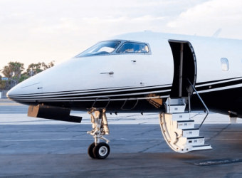
Located in the Somme, next to Estrées-Mons and 15 km south of Péronne, you can practice parachuting activities there. It can accommodate both aerodynes and very light jets.
AEROAFFAIRES tells you everything you need to know about the organisation of your flight from Péronne – Saint-Quentin airfield.
History of Péronne – Saint-Quentin airfield
- 1939 : the airfield is built by local residents.
- 1940 : the airfields of Calais, Dunkerque, Metz, Essey-lès-Nancy, Bron and Châteauroux are targeted by the bombing of the German Air Force and half of the force planes are destroyed. Following the armistice, the enemy requisitioned the land, including Péronne, where two runways were built.
- 1944 : Luftwaffe installs several 88mm anti-aircraft guns. After the liberation of Paris, the Germans withdraw.
- 1945 : the land is handed over to the French Air Ministry of Charles de Gaulle’s government. However, it is left abandoned for lack of funds.
- 1950 : In the aftermath of the war, the Soviet threat was growing. Negotiations between NATO and the United States were held with the aim of strengthening Western Europe. Air bases were set up on French soil and fighter planes were stationed there. The airfield of Péronne becomes a rescue and relief airfield.
- 1966 : Charles de Gaulle announces France’s withdrawal from the integrated military command and orders NATO forces to leave French soil.
- 1967 : the base is abandoned by NATO and the US Air Force.
- 1992/1995 : It is taken over by the Chamber of Commerce and Industry of Péronne.
- 2007 : the Péronne airfield is transferred to the Communauté de Communes de la Haute Somme for exploitation.
Practical information about the Péronne - Saint-Quentin airfield
The airfield of Péronne – Saint-Quentin has a surface of 105 hectares. It has a landing strip.
The coordinates of the airport of Péronne – Saint-Quentin
- Airport Code : XSJ
- Latitude : 49° 52′ 18″ N
- Longitude : 03° 02′ 30″ E
- Altitude : 90 m
- Runway length : 1,390 m.
This airfield is open to national and international passenger transport and can accommodate private aircraft.
Do you need a price estimate?
Request for quoteLocation & access to Péronne - Saint-Quentin airfield
- Address : Airport – La Bosse de Laby, 80200 Monchy-Lagache
- Coordinates : 49° 52′ 18″ North / 03° 02′ 30″ East
- Altitude : 90 m
- Access : The airfield records nearly 25,000 movements per year.
Located 15 km south of Péronne, it will take you about 13 minutes to reach it by car from the centre.
If you wish, AEROAFFAIRES can take care of your transfer by hiring a car with a private driver.
Do you need a price estimate?
Request for quoteRecommendations for the commune of Péronne
Where to stay near the Péronne – Saint-Quentin airfield?
During your stay in the region, hotels and guest houses are available to welcome you.
What to do in the area?
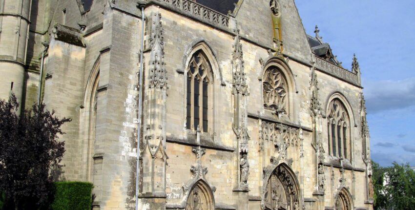
Enjoy a guided tour during which you will discover the battlefields of the Somme used during the First World War.
A question? Contact our airline experts

Isabelle CLERC
CEO AEROAFFAIRES

François-Xavier CLERC
Founder AEROAFFAIRES
Our airline experts remain at your disposal to help you at every stage of your reservation.


