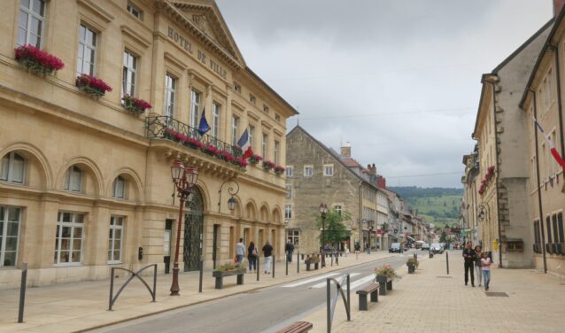
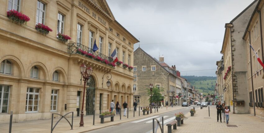
Pontarlier: introduction
Pontarlier airfield is located 2km west of Pontarlier, in Franche-Comté.
The airfield is open to public air traffic.
AEROAFFAIRES tells you everything you need to know about organising your flight from Pontarlier airport.
History of Pontarlier airfield
- 1910 : first landing in Pontarlier
- 1930 : foundation of the Pontarlier flying club
Practical information about the Pontarlier airfield
The airfield has two runways:
- an asphalt runway, 1,000 metres long
- a grass runway, 855 metres long
Coordinates of the Pontarlier aerodrome
- Airport code : LFSP
- Latitude: 46° 54′ 30″ N
- Longitude : 6° 19′ 45″ E
Do you need a price estimate?
Request for quoteLocation & access to Pontarlier airfield
- Address: Rue de Salins, 25300 Pontarlier
- Coordinates: 46° 54′ 30″ north, 6° 19′ 45″ east
- Altitude : 818 m
- Access : Located 2km from Pontarlier, the airfield is easily accessible.
It will take you on average
- 10 minutes to reach Pontalier
- 50 minutes to reach Besançon
AEROAFFAIRES is happy to reserve a vehicle with a driver for you. Whatever type of car you need (Mercedes S Class, VIANO, Limousine), its driver will be waiting for you on your arrival and will drive you to your meeting place, or will be at your disposal during your stay.
Do you need a price estimate?
Request for quoteRecommendations for the city of Pontarlier
What to do in Pontarlier?
The gentle terrain of the Jura mountains is ideal for hiking and nature walks. You can go to the Grand Taureau, the summit of the commune of Pontarlier, at 1,323 metres, with a grandiose panorama of the entire Franco-Swiss Alps.
A question? Contact our airline experts

Isabelle CLERC
CEO AEROAFFAIRES

François-Xavier CLERC
Founder AEROAFFAIRES
Our airline experts remain at your disposal to help you at every stage of your reservation.

